Unterstützung 2022
Giacomina Bucher/ Institute of Geological Sciences/ University of Bern, Switzerland
Dating of boulder deposits and reconstruction of the geomorphological history of the Lurnigalp
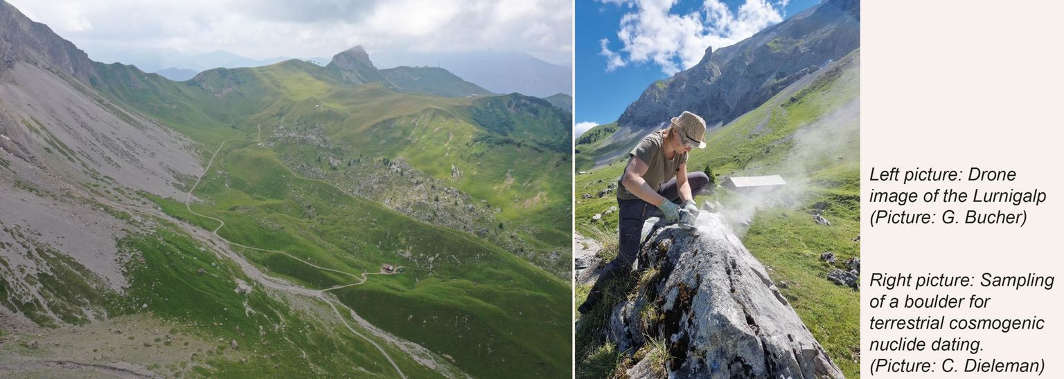
The Lurnigalp is situated in the Bernese alps in Adelboden. It is a small SE-NW-oriented valley at an altitude of around 1900 meters above sea level. Along the eastern side of the valley, there is a several hundred-meter high cliff of the Helvetic nappes. The western limit of the valley is a grass ridge. In particular, the eastern valley side is geomorphologically active, but numerous geomorphological formations are distributed over the whole valley. The goal of my work is to do a mapping of active and inactive geomorphological processes to reconstruct the valleys' quaternary history. A specific interest lies in two main boulder deposits within the valley. Latter will be dated using 35Cl terrestrial cosmogenic nuclides. The development of the valley will also be discussed under the context of the timing and extent of the last glaciation periods.
Thanks to the support of CH-QUAT I could go to the field several times during the summer of 2022. I could do my sampling for the terrestrial cosmogenic nuclide dating. Samples were taken from fifteen boulders of the two main boulder deposits. The cosmogenic nuclide ages will help to put the deposits in a paleoclimatic context. I was also able to take areal photographs of my study area with a drone. The photos are the basis to generate a high-resolution digital elevation model. This is the foundation for the geomorphological mapping of the area and possible modeling of certain processes.
Contact:
Giacomina Bucher
giacomina.bucher@students.unibe.ch

Sonja Scherer / Departement of Earthsciences / ETH Zürich, Switzerland
Reconstructing the final phase of the Last Glacial Maximum Reuss glacier at Blattiswald and the timing and extent of the prehistoric Steinerberg (Rubenen) landslide in the region of Goldau, Schwyz
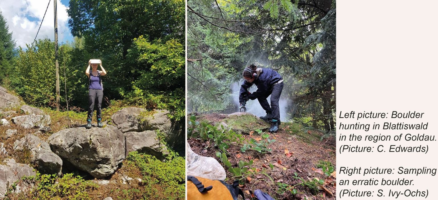
The Blattiswald region is well known for the abundance of crystalline erratic blocks that could only have been moved there by a glacier. At the end of the Last Glacial Maximum (LGM), a large rockfall occurred likely from the southern Maderanertal region (UR) onto the Hüfi glacier which was flowing towards the Reuss glacier. Hüfi glacier joined with the Reussglacier east of the present day Amsteg (UR), and the boulders were transported over 35 km to the “Blattiswald” (SZ) where they were finally deposited. A key question of the master thesis is exactly when the erratic boulders were deposited. Determining this would provide key data for understanding the final phase of the LGM just before glaciers melted down catastrophically.
The erratic boulder field in the Blattiswald was in part buried by the later prehistoric Steinerberg (Rubenen) event. Of this mass-transport deposit that originated from massive rock slope failure of Subalpine Molasse neither its exact extent nor its date are known. Determining when this major event happened is one of the goals of this thesis. This data can be combined with the existing knowledge of slope failures in the Goldau region to interpret causes and triggers.
Thanks to the financial support from CH-QUAT, I was able to carry out the field work this summer which consisted of mapping the region, finding suitable boulders and sampling for the following chlorine-36 dating on the Steinerberg landslide and beryllium-10 dating on the erratic boulders in Blattiswald.
Contact:
Sonja Scherer
soscherer@student.ethz.ch

Simona Breu/ Geoecology Research Group/ Department of Environmental Sciences/ University of Basel, Schwitzerland
Changes in fossil chironomid and cladoceran assemblages along water depth gradients
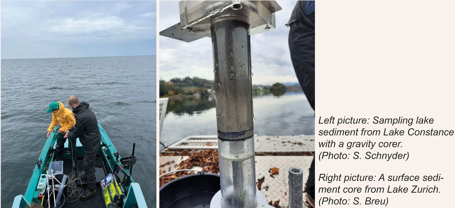
Paleoenvironmental reconstructions based on lake sediment records rely on proxies including the remains of aquatic invertebrates to interpret environmental change over long-time scales. The aim of my master’s thesis is to find out to what extent fossil invertebrate composition is directly or indirectly influenced by water depth. A new surface sediment dataset describing how the distribution of fossil aquatic invertebrate remains changes across lake basins and in different lacustrine environments will be developed to aid the interpretation of paleoecological studies concerning the interpretation of lake level changes.
For this purpose, surface sediment samples from the supralittoral to the profundal of Swiss lowland lakes including Lake Constance, Moossee, Burgäschisee, Lützelsee, Lake Thun and Lake Zurich were sampled and will be analysed. The analysis will include the identification of chitinous invertebrate remains from 7 to 12 samples per transect, with a particular focus on chironomid and cladoceran assemblages.
Thanks to the financial support of CH-QUAT, I was able to carry out my fieldwork on such a large scale and sample 10 transects. Thank you, CH-QUAT!
Contact:
Simona Breu
simona.breu@unibas.ch

Catharina Dieleman / Institute of Geological Sciences / University of Bern, Switzerland
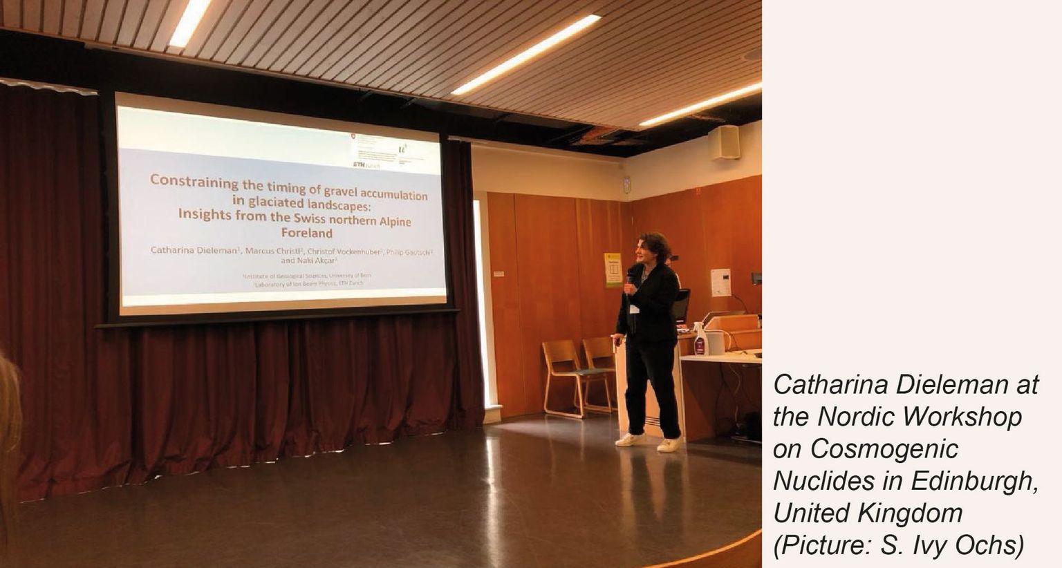
Attendance to the Nordic Workshop on Cosmogenic Nuclides in Edinburgh, United Kingdom
The Nordic Workshop on Cosmogenic Nuclides is a biannually event bringing together the people from around the world, who apply cosmogenic nuclides in their research. This year the workshop was taking place from the 6th to the 10th of June in Edinburgh. Twenty-one talks including four key notes and sixteen poster presentations shed light onto the different applications of cosmogenic nuclides. I’m very grateful to CH-QUAT for supporting my participation. This gave me the possibility to introduce my research to a specialised audience and to get important feedback on my work. The discussions at the posters and the social events allowed me establishing new contacts and cultivating my existing network within the community in the field of cosmogenic nuclides.
At this workshop I could present my past and current research with a talk entitled “Constraining the timing of gravel accumulation in glaciated landscapes: Insights from the Swiss northern Alpine Foreland”. The focus of my research is the landscape evolution during the Pleistocene based on Deckenschotter deposits in the Swiss northern Alpine Foreland. They are characterised as a succession of glaciofluvial gravels, which can be intercalated with glacial and/or overbank deposits. Furthermore, they represent the oldest Quaternary sediments in the Swiss northern Alpine Foreland and provide therefore insight into the glaciation history of the Early Pleistocene. The recently established chronology based on cosmogenic nuclides indicates three major gravel accumulation phases between ca. 1 Ma and ca. 2.5 Ma. The current project aims at getting a better and more detailed understanding of the Early Pleistocene glaciations by establishing a chronology using isochron-burial dating as well as reconstructing their provenance, transportation mechanism, and depositional environment by detailed sediments analyses at Irchel (Canton of Zurich). Discussions after my talk provided important insights and allowed exchanging ideas, advantages, disadvantages, limitations, possible sources of errors, and expectations on the isochron-burial dating technique with experts in this field.
Contact:
Catharina Dieleman
University of Bern
Institute of Geological Sciences
Baltzerstrasse 1+3
CH-3012 Bern
catharina.dieleman@geo.unibe.ch
